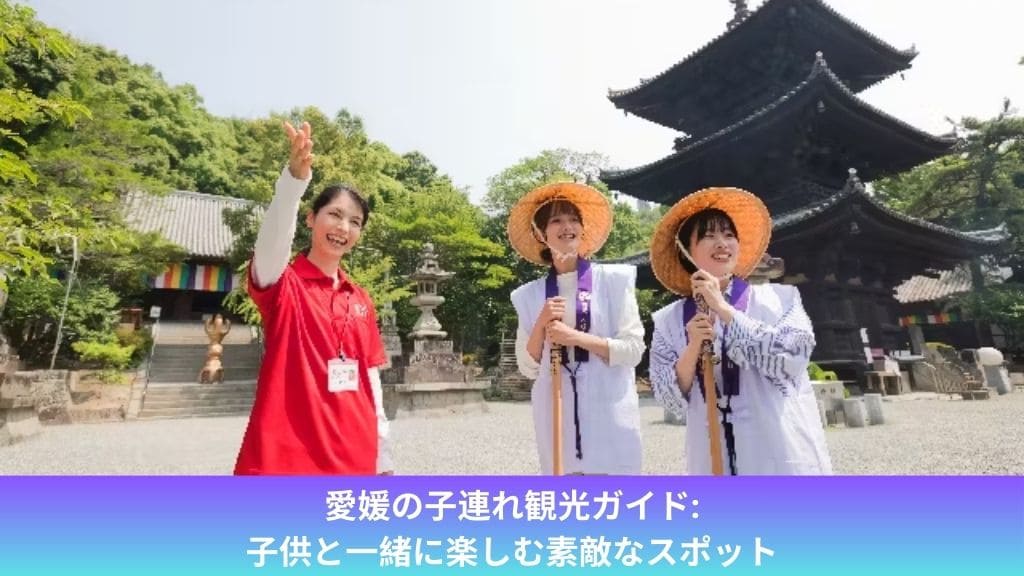
愛媛の子連れ観光ガイド: 子供と一緒に楽しむ素敵なスポット
愛媛は美しい自然景観や歴史的な名所が豊富 ...
Read more
高知の紅葉: 自然の美しさを楽しむ

紅葉シーズンが訪れると、日本各地で美しい ...
Read more
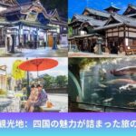
四国中央市観光ガイド: 地域の魅力を探る

四国中央市は、四国地方の中央に位置し、豊 ...
Read more
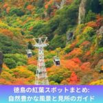
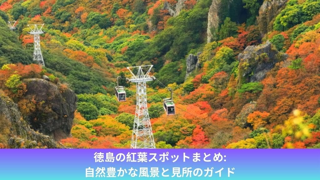
徳島の紅葉スポットまとめ: 自然豊かな風景と見所のガイド
紅葉の季節になると、日本各地で美しい景色 ...
Read more
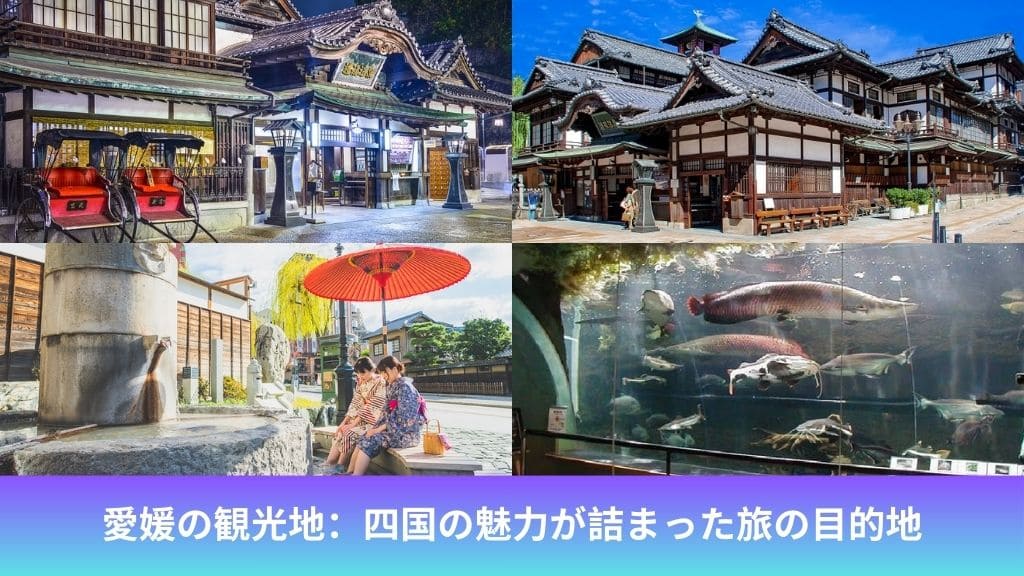
愛媛観光地:魅力満載の観光スポット11選
松山市は愛媛県の中心に位置し、豊かな歴史 ...
Read more
香川 の 観光 地:自然と歴史が融合した魅力的なスポット
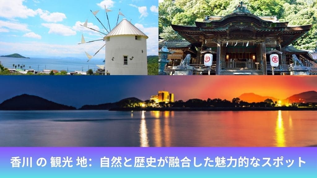
香川県は四国地方に位置し、美しい自然景観 ...
Read more
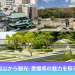
松山から観光: 愛媛県の魅力を探る
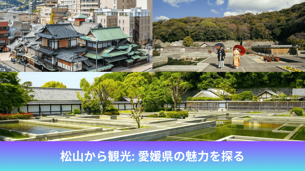
松山は愛媛県の中心都市であり、四国地方で ...
Read more
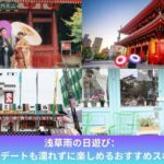
浅草雨の日遊び:食べ歩きやデートも濡れずに楽しめるおすすめスポット10選

雨の日でも楽しめる浅草の魅力をご紹介しま ...
Read more
浅草温泉・まつり湯:東京スカイツリーを一望できる日帰り温泉
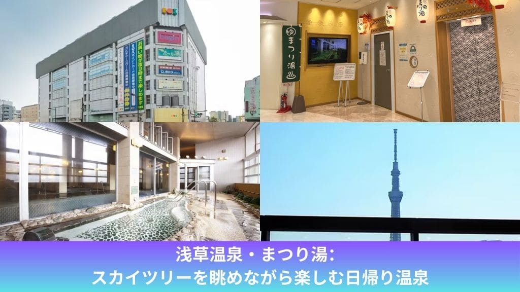
東京都内には数多くの温泉施設がありますが ...
Read more
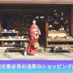
浅草のお買い物スポット5選:観光客必見のおすすめ店舗
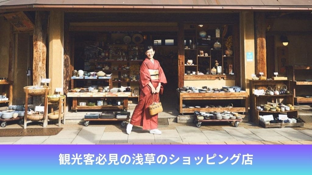
浅草は東京を代表する観光地の一つであり、 ...
Read more